The Atlas of Fleeting Moments
Posted on January 7, 2022 • 3 minutes • 459 words
The Atlas of Fleeting Moments is a collection of unique collectible moments in the form of 1/1 NFTs on the Polygon blockchain.
Reality is ephemeral, the very fabric of what is eludes true perception and escapes trough our own fingers. The theatre staging the unfolding of this poignant story we called time.
What we are left with is the opportunity to capture fleeting snapshots of our reality like fragile worlds inside tiny glass globes.
Fleeting Moments are unique, precious vessels to an otherwise lost, forgotten memory, an unrepeatable instant in time and space. The only chance to ensure these moments are eternally yours.
Explore Collections
Generation Process
The generation of each fleeting moment involves these steps:
Capture
In this step we capture the source image along with some other environmental data.
The image we capture is a spherical, 360 view of the location, like the one below.
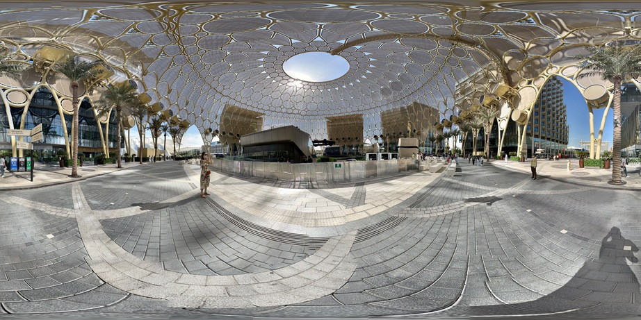
Together with the image, we also measure some parameters associated to that location at that time. These metadata we measure include:
- temperature
- latitude
- longitude
- altitude
- noise
- date and time
Render
In this step we use what we captured to render the final image.
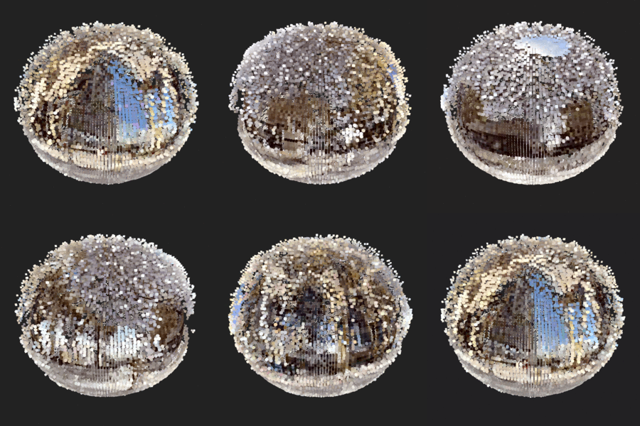
The output of this stage is a spherical object, composed of coloured cubes in 3D space. Each cube represents a fragment (a pixel) from the original image. The pixels from the original 360 images are used as the texture of the spherical object.
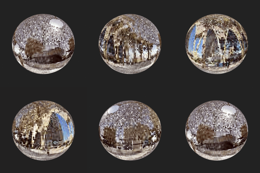
Measured parameters influence the colour and the shape of the sphere. We do this by mapping each measure to a specific characteristic of the sphere. More precisely:
Temperature
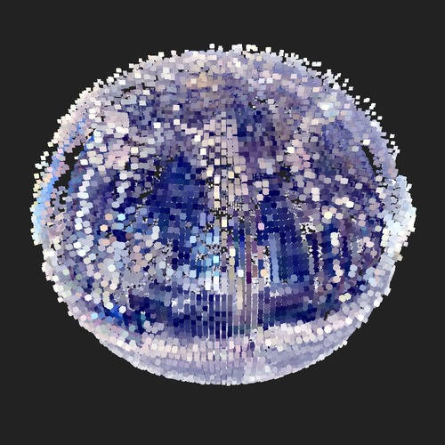
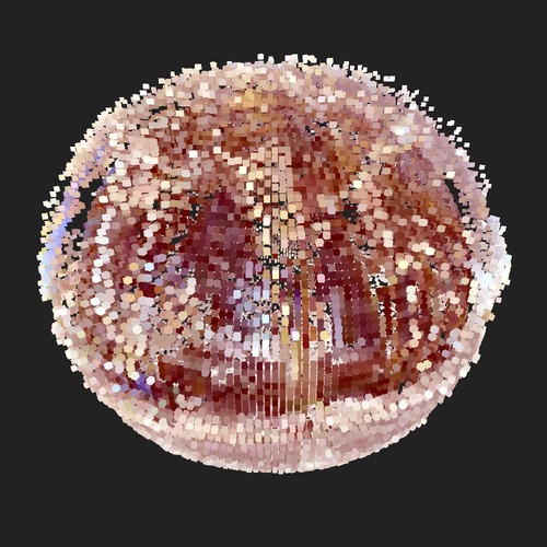
- the recorded temperature influences the overall colour temperature of the output sphere. Colder temperatures will result in cooler colours; warmer temperatures, on the other hand, to colours more leaning towards red and orange;
| cold | hot |
|---|---|
 |
 |
Latitude and Longitude
- latitude and longitude determine the orientation of the sphere. The sphere is rotated so that the point represented by that <lat, long> will be at the centre of the image at the beginning of the animation;

Altitude
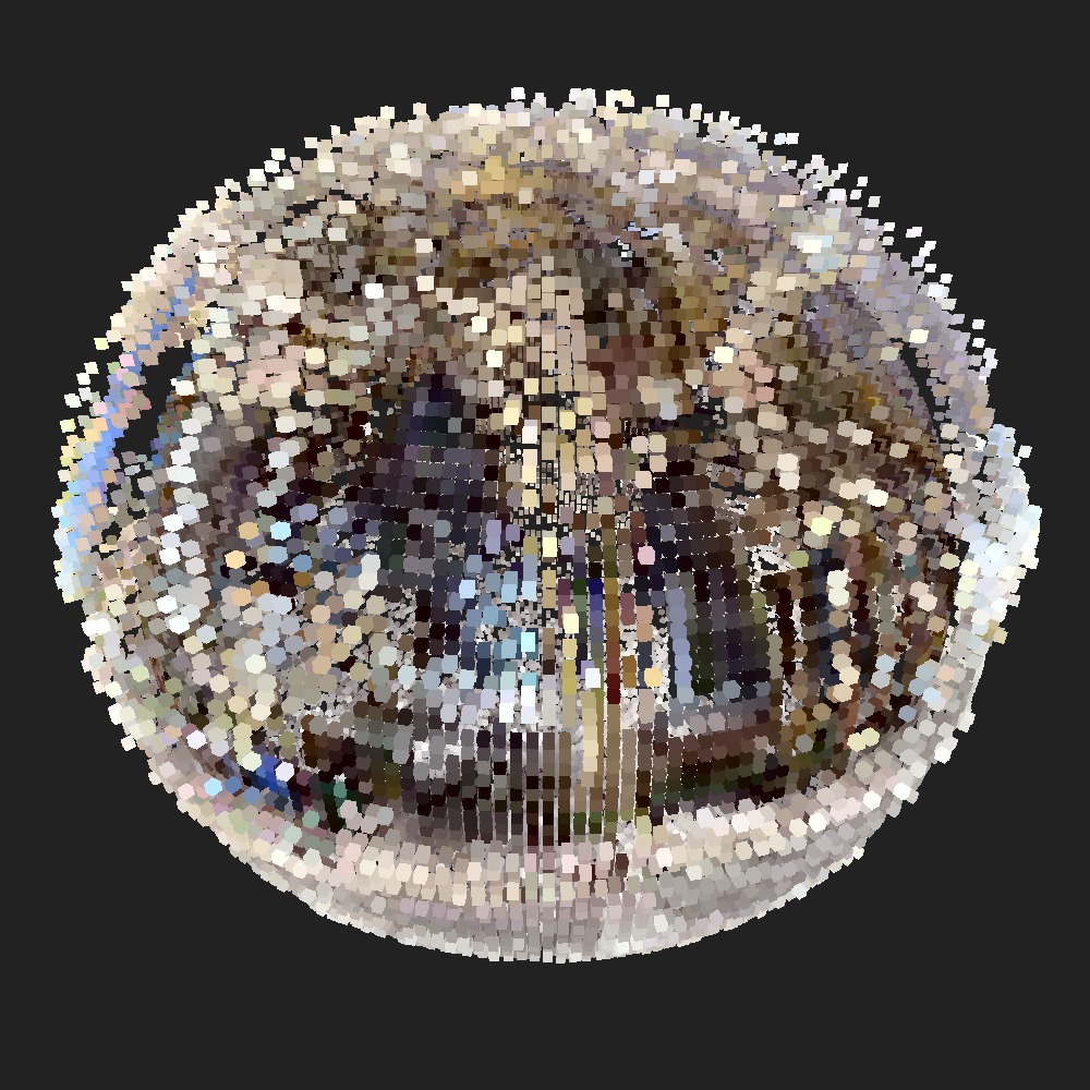
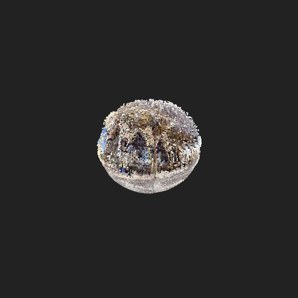
- altitude will determine the distance of the sphere from the point of view of the observer, hence the dimension of the sphere in the image;
| near | far |
|---|---|
 |
 |
Noise
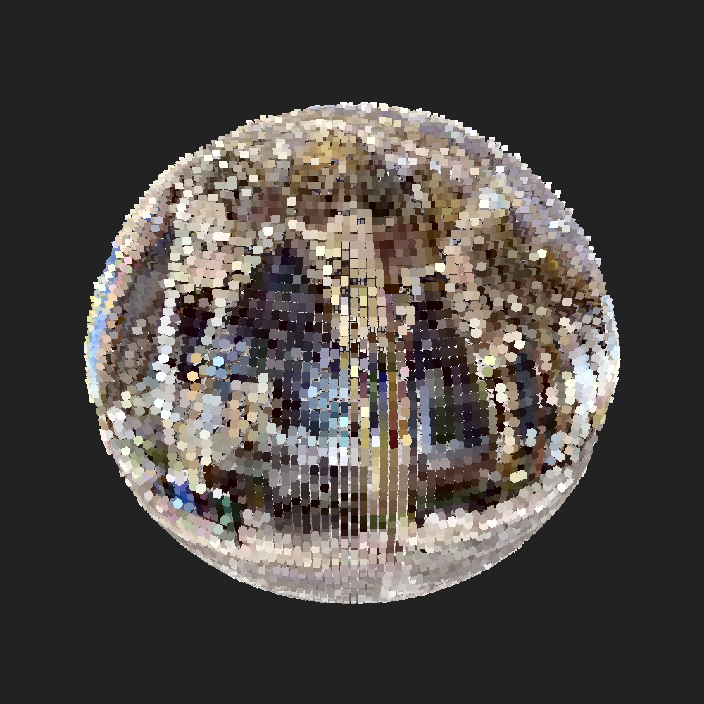
- recorded noise along with colour brightness of each pixel determine the distance of each cube from the centre of the sphere. The brighter and noisier the environment is, the farther cubes will be from the centre;
| low | high |
|---|---|
 |
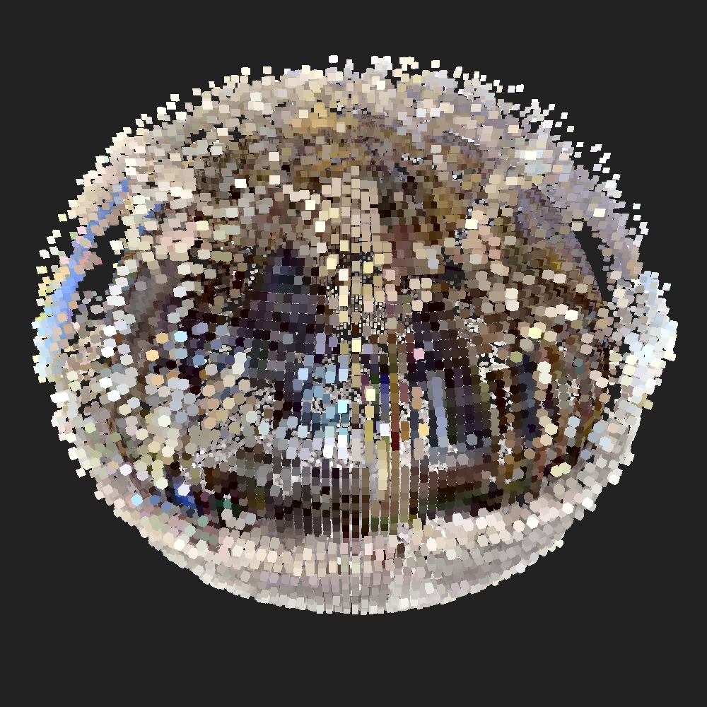 |
Date and Time
- date and time determine the rate of compression or flattening of the spheres on the poles. The more time passes, the more the sphere will be compressed;
| before | after |
|---|---|
 |
 |
Final Result
Once processed as we described, a GIF animation is generated and the final result looks like this:
